
PRODUCTS
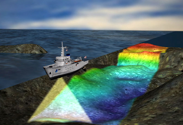
MULTIBEAM BATHYMETRY
High resolution bathymetry with 100% coverage of the seafloor through multibeam echo-soundings and course correction, pitch, roll, yaw, and sound velocity.


SINGLEBEAM BATHYMETRY
Bathymetric studies with dual-frequency and single-frequency echo sounders that allow greater precision in all types of aquatic floors.

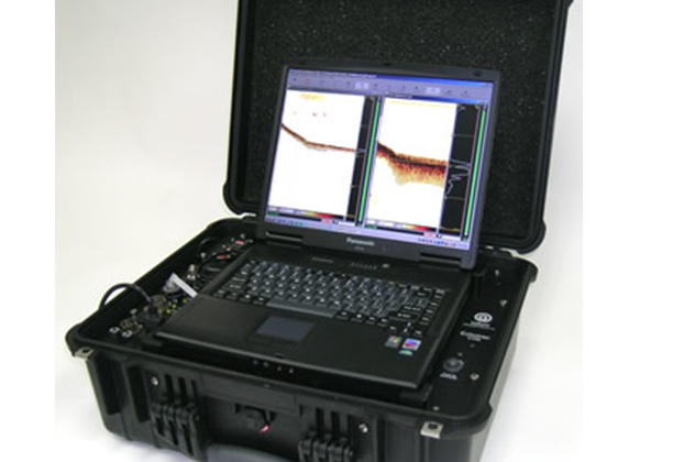
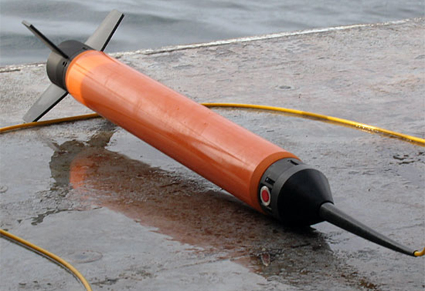
SIDE SCAN SONAR
Technology that allows the creation of acoustic images of the surface of the seabed, as well as carrying out georeferencing and characterization of decks, detection and search of objects, inspection of structures and monitoring of maritime works.


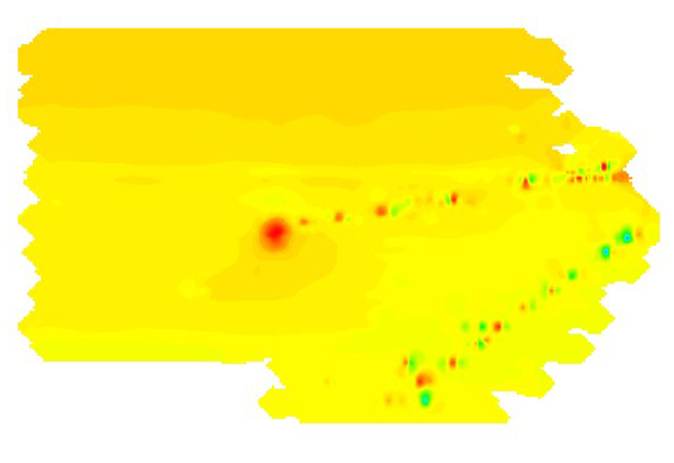
MAGNETOMETRY
It allows the detection of ferrous materials that are found on the seabed either on the surface or buried in the area being studied. This is determined by the anomalies detected at Nanotesla (nT) level.
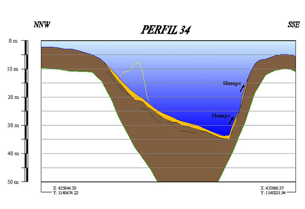
SUB-BOTTOM PROFILING
Methodology of geophysical exploration based on the principles of vertical reflection physics, with this method low frequency acoustic records, reflected in the marine subsoil that allow to discriminate the interfaces between different layers of materials are obtained. We have high resolution “pinger” and “boomer” type profilers of greater power.


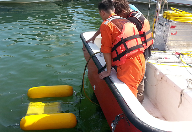
CURRENT METER
We have this instrument to measure the speed of the current in the sea, rivers and other bodies of water, we have equipment such as the Acoustic Doppler Current Profiler (ADCP) and propeller-type meters for different types of studies. With ADCP technology we can also measure wave height after a series analysis of the data.


MARINE SAMPLING
We have Vibro Corer, Gravity Corer, Grab Corer and other equipment to help classify and describe samples taken from the seabed.


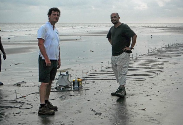
MARINE ELECTRICAL TOMOGRAPHY
It is a multi-electrode resistivity method, based on 2D terrain modeling using numerical techniques. This allows identifying lithologies and morphologies of the subsoil, as well as locating objects.

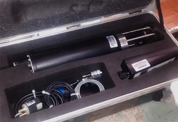
CTD’s, MULTIPARAMETER PROBES AND TIDE GAUGES
They allow measuring different variables and parameters, such as: oceanographic conductivity, temperature, depth, salinity, density, and dissolved oxygen, etc.

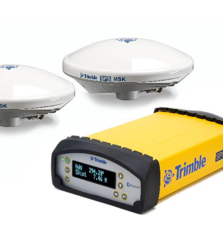
GPS’s
We have different high-precision positioning technologies with Omnistar XP or ground-based (RTK) satellite corrections for maximum reliability in achieving data accuracy.

SOFTWARE
We have specialized software for different types of hydrography as well as marine geophysical equipment, which allow us to make the best use of the data obtained in order to develop final products adjusted for different segments such as Oil & Gas, Telecommunications, and Engineering, amongst others.


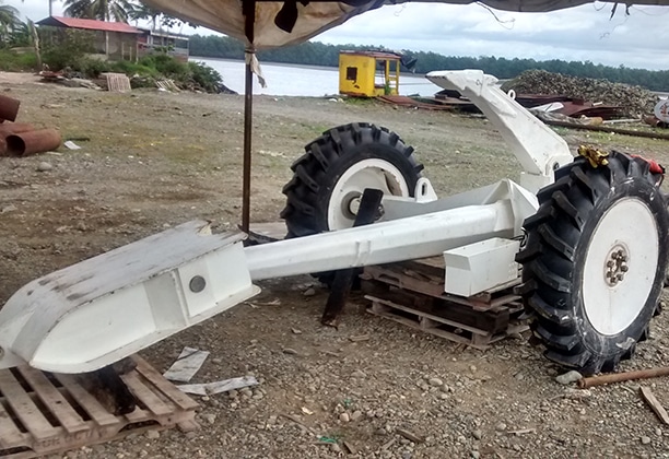
MARINE EQUIPMENT
Geomares has different equipment for the development of marine works such as: winches, cranes, compressors, generators, dredging and suction pumps, four-point anchoring systems, cable motors, and burial equipment for submarine cable.

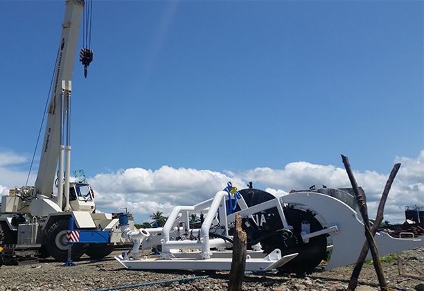

We have a wide portfolio of equipment for rental service, with and without operator; more information on our contact form.