
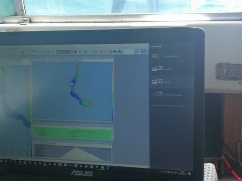
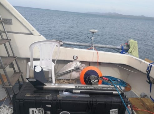
PROJECTS
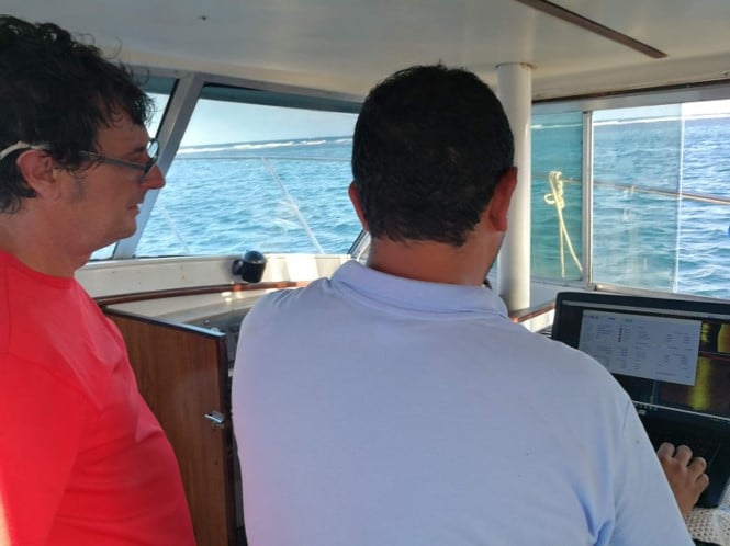


- Bathymetric and Geophysical survey, submarine cable at Isla de Barbareta, Roatán, Honduras. (RECO)
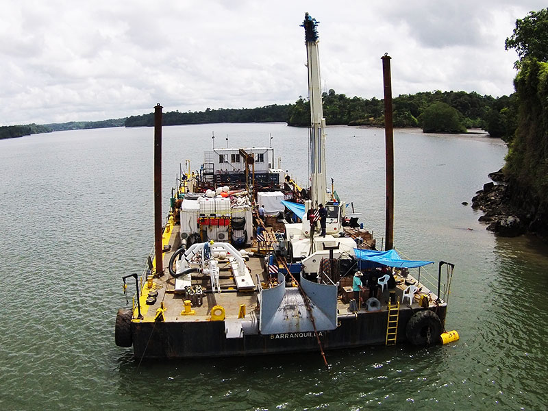
- Multibeam Bathymetry survey at Magdalena River Sitionuevo-Bocas de Ceniza áreas (Rio Magdalena Consortium)
- Bathymetric and Geophysical survey for oil terminal pipeline planning of PETROAMAZONAS AMISTAD field, Guayas, Ecuador. (SLEM-PETROAMAZONAS)
- High Resolution Multibeam Bathymetric survey for OCP terminal underwater pipe mapping, Esmeralda, Ecuador (SLEM-OCP)
- Multibeam bathymetric survey
- Geophysical Survey of the Port Terminal of Manta, Ecuador (Jan de Nul)
- Bathymetric Survey and Lidar Reservoirs Salvajina, Alto Anchicaya and Calima, (EPSA)
- Survey, detection and monitoring for the rescue of the TRITONIA vessel in Buenaventura Bay (Jan de Nul)
- Positioning of submarine cable installation PCCS, Balboa, Panamá (Underwater Technical services Limited)
- Submarine cable installations SAC SEG-H, Buenaventura, Colombia (Level 3 Communications)
- Submarine cable Burial Globenet Seg 2.3 post repairment, Salgar (Globenet)
- Cable watch of exposed submarine cable Globenet Seg 2.3, Salgar (Globenet)
- Study for burial landing of AMX Submarine cable, Salgar, Colombia (Alcatel-Lucent)
- Submarine cable route study SAC SEG-H, Buenaventura, Colombia (Level 3 Communications)
- Archaeological study of submarine cable SAC Seg-H, Buenaventura Colombia (Level 3 Communications)
- Archaeological study of submarine cable PCCS, Cartagena (Telefónica Colombia)
- Geophysical survey of submarine cable study PCCS, Balboa, Panamá (Underwater Technical services Limited)
- Survey study of submarine cable in shallow water PCCS, Cartagena (EGS Survey)
- Survey study of submarine cable in shallow water Globenet 2.3, Salgar (EGS Survey)


- Dredging Control Bogotá River (Consorcio Rio Bogotá)
- Dredging Control, Mesa de Yeguas Club Reservoir, Anapoima (Buceos y dragados)
- High Resolution Bathymetric and Geophysical Survey Bloque Siluro, Guajira (Repsol)
- High Resolution Bathymetric and Geophysical Survey Pozos Colorados terminal zone monobuoy, Santa Marta (Consultora Colombiana S.A.)
- High Resolution Bathymetric and Geophysical Study for the planning of the dredging of the access channel to the Cartagena bay (Aqua y Terra Consultores)
- High Resolution Bathymetric and Geophysical Study to determine the location of the wreck (Tritonia, Buenaventura Colombia)
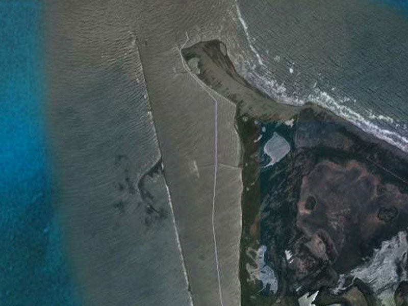
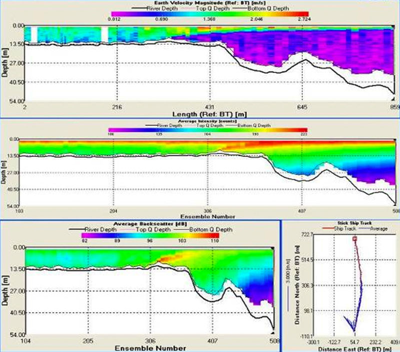
- Study of sediment deposits and currents at Bocas de Ceniza, Barranquilla (Moffatt and Nichol)
- Multi-beam and single beam Bathymetric Survey and topography with LiDAR, Alto Anchicaya, Bajo Anchicaya, and Prado Dams (EPSA)
- Multi-beam and single beam Bathymetric Survey Bocatoma (intake) area la Esmeralda reservoir (AES Chivor)
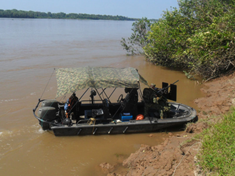
- Single beam Bathymetric Survey , Putumayo River for navigability study (Consorcio DGP-CONCEP)
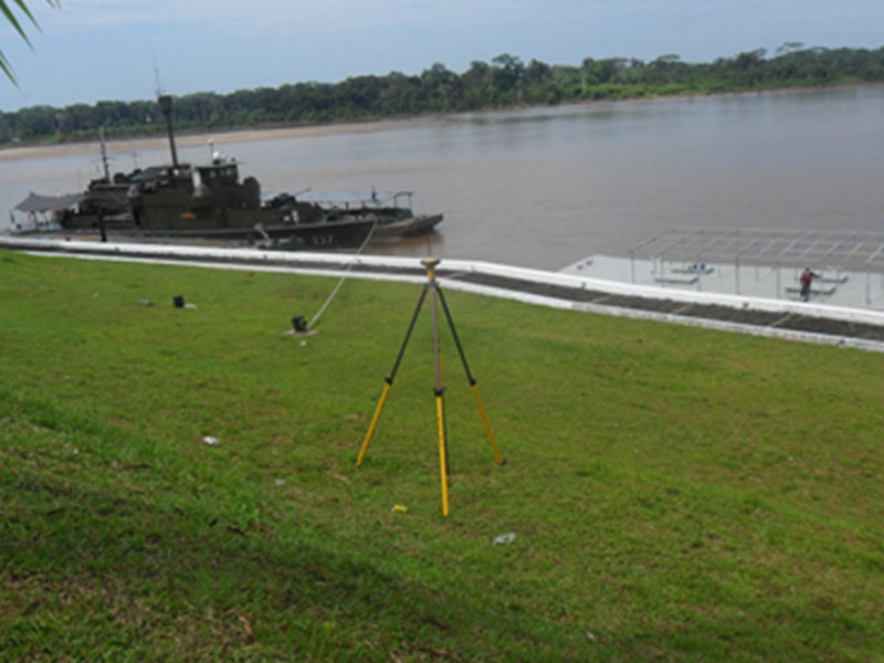
- Multi-beam Bathymetric Survey Amazonas River for navigability study (Consorcio DGP-CONCEP)
- Multi-beam Bathymetric Survey, San Rafael and Chuza Dams(EMGESA)
- Multi-beam Bathymetric Survey, Puerto Bahía, Cartagena (Consorcio Isolux-Tradeco- Tampa Tank)
- Bathymetric Survey and side sweep sonar Bajo Anchicaya reservoir (EPSA)
- High Resolution Geophysical Study for dredging of the access channel to the Cartagena bay, Cartagena (Aqua y Terra Consultores)
- Topographic Survey at the oil terminal of ECOPETROL Tibú, Tibú, Norte de Santander (Estudios Técnicos S.A. SGS)
- Topographic Survey with laser reficar scanner, Cartagena (Estudios Técnicos S.A. SGS)


ALLIANCES

OUR CLIENTS


